Learn about the importance of geographic information systems (GIS) at Clemson’s GIS Day celebration hosted by the Clemson Center for Geospatial Technologies (CCGT) in 412 Cooper Library Wednesday, November 15, from noon to 4 p.m. The day will feature hands-on demonstrations of the technology used in GIS work, as well as guest speakers, a Mapathon, food, contests and prizes.
The day begins with a Mapping for Good Mapathon and sponsored lunch, hosted by the Clemson Mappers student organization, to create maps for humanitarian projects. No mapping experience is necessary to participate, and the most productive mappers will win prizes. Mapathon participants must register in advance here.

At 1 pm., Allen Carroll, program manager for Esri’s story maps team, will deliver a keynote titled “Narratives for Change: How Interactive Stories and Maps can be Used to Inspire Climate Action.” Carroll’s work has brought a paradigm shift to the GIS field, empowering a new generation of storytellers. Prior to joining Esri in 2010, he worked for National Geographic in a variety of roles for 27 years, including executive vice president and chief cartographer for National Geographic Maps and art director for National Geographic Magazine.
From 1:30 to 3:45 p.m., there will be a series of lightning talks from a variety of speakers from both Clemson and Furman University about their work with GIS. Visit the GIS Day website to view the full list of lightning talks.
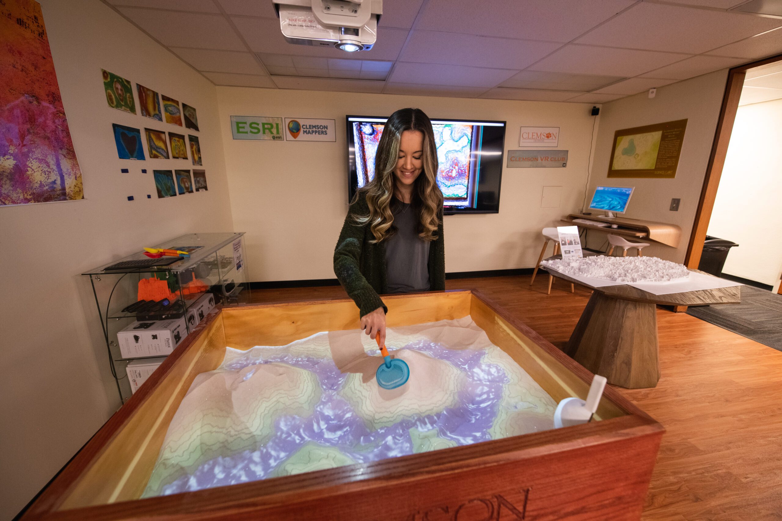
Throughout the afternoon, participants will be able to explore the technology available in the CCGT, including drones, virtual reality tools and the augmented reality sandbox. There are also other mapping contests and other prizes. Visit the GIS Day website for more information or click here to register for the event.
About the CCGT
The mission of CCGT is to build a community of interdisciplinary geospatial science practitioners through the support of research, teaching, and outreach activities using technologies that enable the collection, analysis and application of geospatial data. The Center is dedicated to assisting faculty and students in the integration of geospatial technologies within their scholarly activities across all disciplines at Clemson University and building connections between academic, industrial, governmental and non-governmental institutions throughout the world.
The primary home for CCGT is in the Cooper Library, where staffed collaboration and training spaces are available to all members of the Clemson community through a partnership between CCIT and the Libraries. Through this partnership, CCGT strives to make resources available to the community, including training and workshops, data services for teaching and research, access to infrastructure for geospatial analysis (ranging from software licensing for GIS through high-performance computing), and support for research and proposal development.


