
Commercial drones are a billion-dollar industry, but many don’t know where to turn for information about regulations and certifications, how to select a drone for their operations, or learning the technical aspects of drone use. On August 6-7, the Clemson Center for Geospatial Technologies (CCGT), in collaboration with Clemson Libraries, will offer a comprehensive workshop to answer those questions and help local businesses take off. The workshop is designed for both new and experienced professionals and researchers who want to expand their knowledge and provides key information for virtually every business or organization to incorporate drones into their activities. Participants will gain an understanding of:
- Drone safety, regulations, and uses
- Flight planning and operations
- Data collection, processing, and analysis
[vid origin=”youtube” vid_id=”0AWzZ4qZTdc” size=”small” caption=”Workshop participants can learn how to shoot, edit and publish drone footage like this video capturing an archaeological excavation on Clemson’s campus.” align=”left”]
The Federal Aviation Administration (FAA) forecasts that the commercial drone market is accelerating in growth and expects the number of commercial drones to triple in size by 2023. These unmanned aircraft, typically equipped with a digital camera or other type of sensor, are applied to countless applications across industry lines. News outlets, insurance agencies, marketing firms, and real estate offices rely on drones for photography, video capture, and inspections from the air. Project managers and clients can stay up-to-date on building and construction progress in near-real time. Engineering firms, land management agencies, and agribusiness use drones to create aerial maps and 3D site reconstructions to inform their decision-making strategies. With a projected annual revenue of $80 billion by 2025, businesses will need to expand services and remain competitive by utilizing drones.
Workshop overview
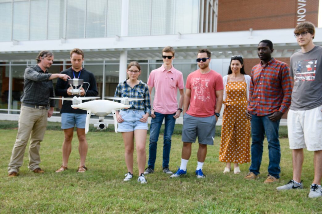
This two-day workshop will take place August 6 and 7 at Cooper Library. The first day introduces commercial drone regulations, insight into the FAA certification exam, and hands-on flight planning activities and drone demonstrations. On August 7, two specialized technical sessions are offered:
- A drone photography and video editing track focused on producing professional, high-quality media from your drone
- A mapping track to learn how drone images are captured and processed to produce aerial maps, elevation surfaces, and 3D data
Participants can sign up for the eight-hour introductory session on August 6, an eight-hour technical session on August 7, or both sessions with the technical track of choice. The cost is $300/day for the general public and $250/day for Clemson affiliates. Visit bit.ly/cudrones19 for all the information and to reserve a seat.
About CCGT: The mission of the Clemson Center for Geospatial Technologies is to build a community of interdisciplinary geospatial science practitioners through the support of research, teaching, and outreach activities. It is internationally recognized as a leader in GIS innovation with prestigious recognitions such as an Esri Development Center and a member of the University Consortium for Geographic Information Science. The Center has three FAA-certified remote pilots with extensive geospatial analysis and instructional experience. The Center maintains a fleet of drones and sensor packages including LiDAR, multispectral and hyperspectral sensors for research project support.