Long before satellite imagery, climate models and environmental monitoring stations, the wetlands, forests and waterways surrounding Winyah Bay were already telling a story.
Now, Clemson University scientists are learning how to read it.
The Winyah Bay estuary, part of the 16,000-acre Hobcaw Barony property near Georgetown on South Carolina’s coast, is the center of a study that draws on the past to help people prepare for the future.
Scientists are examining sediment cores, ecological records and archaeological evidence to uncover how the region’s coastal landscapes and communities have adapted to centuries of natural and human-driven change.
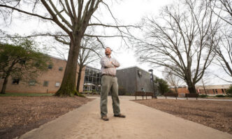
The goal is to document the past and use that record to help communities prepare for a future shaped by sea-level rise, flooding, saltwater intrusion and development. Reed Goodman, an archaeologist at the Clemson Baruch Institute of Coastal Ecology and Forest Science located on Hobcaw Barony, leads the study.
“We’re gathering information from the landscape that can tell us how to better manage it,” said Goodman, who is also a National Geographic Explorer.
The information comes from historical data collected from trees, soils and water on Hobcaw Barony.
The research is one of 10 projects selected worldwide through the National Geographic Society’s forNature program. This program uses science, storytelling, education and local conservation efforts to help and protect nature.
A living laboratory of change
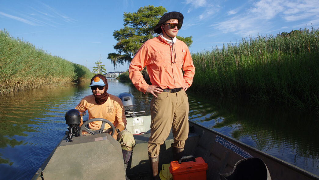
Hobcaw Barony offers a rare natural laboratory. The property contains a mix of ecosystems, including salt marshes, oyster reefs, pine forests, cypress swamps, former rice fields and South Carolina’s largest remaining block of contiguous tidal freshwater wetlands.
Across this small area, scientists trace how freshwater habitats transition into brackish and saltwater wetlands.
For thousands of years, Indigenous communities lived on and used the land. Later, enslaved African and African American communities transformed parts of the area through rice cultivation, drawing on wetland-management traditions carried across the Atlantic Ocean and reshaped in the Americas.
The scientists are looking at how the land has continually adapted to environmental and human changes.
“The estuary is inherently dynamic; it has never remained fixed,” Goodman said. “The important questions for this study are how quickly the landscape has changed, in what ways and how human land use has shaped those changes. Hobcaw’s deep historical record can help us refine today’s models and inform land-use and zoning policies that give wetlands and forests room to adapt.”

Clues beneath the surface
To reconstruct that history, the scientists are digging into it.
They collect sediment cores from areas stretching from tidal wetlands to upland forests. Buried within the layers of mud and soil are traces of past vegetation, environmental conditions and human activity.
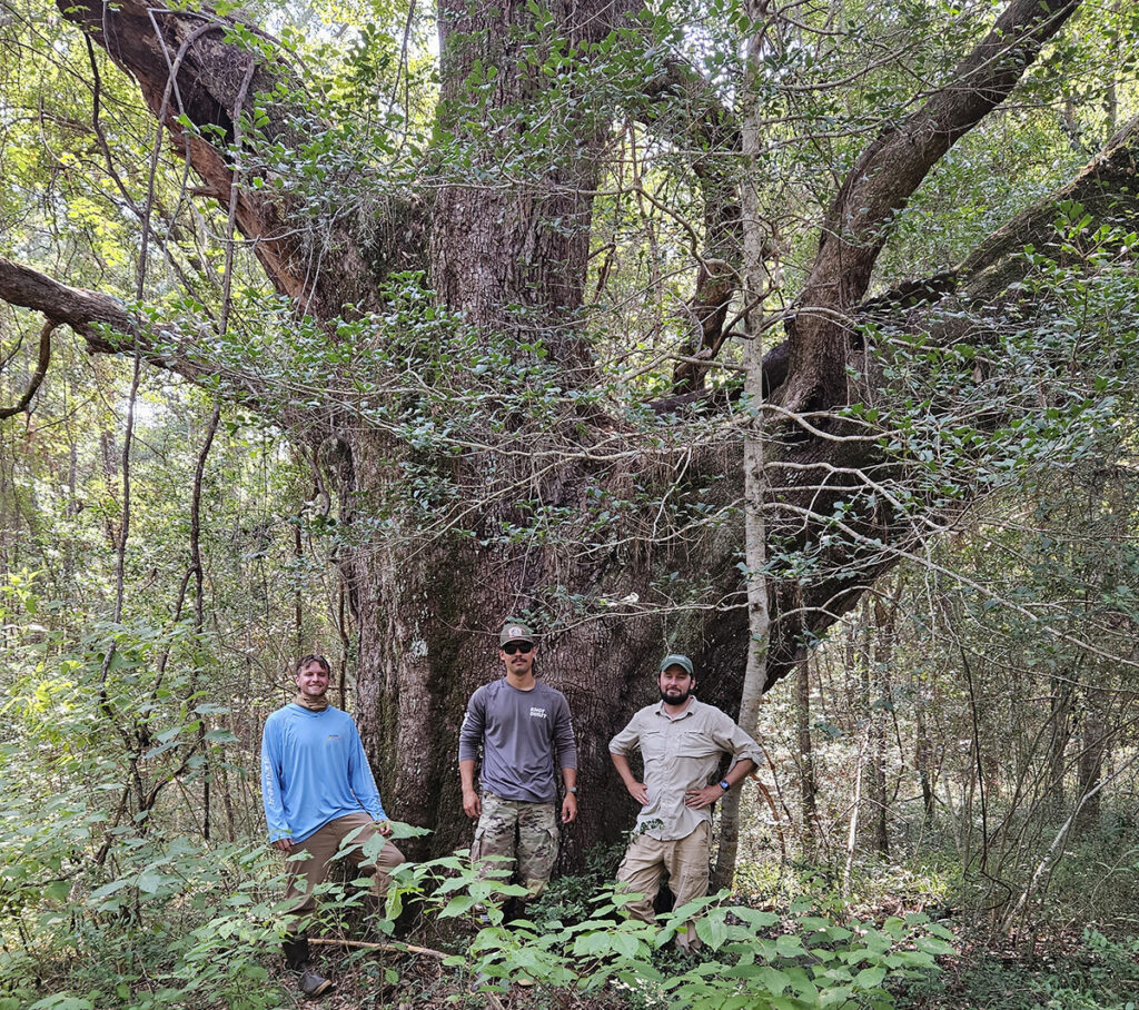
Tree rings help reveal when forests endured hurricanes, fire, logging or saltwater exposure. Archaeological surveys, targeted excavation, elevation mapping and drone imagery provide additional clues about how the landscape evolved.
“The archaeological evidence helps document not only what changed, but who shaped that change and how,” Goodman said. “By combining that cultural record with ecological evidence, we can identify the land-use practices that helped wetlands remain healthy and recover from environmental challenges.”
The project draws expertise from multiple disciplines. Clemson forestry professor Skip Van Bloem examines tree rings and forest structure, while agricultural sciences professor Stefanie Whitmire studies wetland function and resilience.
Scientists from Coastal Carolina University contribute expertise in marine science, sedimentology and archaeology. Zhixiong Shen, a marine science professor, is studying microfauna and sedimentology. Carolyn Dillian, an archaeologist and member of the Waccamaw Indian People, is contributing knowledge about how people have interacted with the environment over centuries.
Ancient knowledge, modern challenges
The project also examines how generations of people adapted to the region’s changing environment.
Dillian studies Indigenous communities that lived in the Hobcaw area centuries ago.
“By studying where archaeological sites are located, what those sites are like and the artifacts found there, we can better understand how people lived on and adapted to this landscape over time,” she said.
The scientists believe these historical lessons may prove increasingly valuable as modern communities face their own environmental challenges.
Students learning beyond the classroom
For Clemson graduate students involved in the project, the research offers more than data collection.
Caleb Yon, a doctoral student studying forestry and environmental conservation, is using the project to learn how coastal ecosystems have responded to hurricanes, agriculture and other disturbances over time.
“I will benefit by gaining countless hours of field and lab experience to better myself as a scientist,” Yon said. “By looking at the past, we can determine how to preserve the Lowcountry in the present and future.”
Reade Ward, a master’s student, said one of the greatest benefits has been working alongside experienced researchers in the field.
“The field discussions Caleb and I have as we work with Dr. Goodman and Dr. Van Bloem to solve problems each day create learning opportunities that no textbook can fully capture,” Ward said.
From research to real-world decisions
The study continues through April 2028, but the scientists already have their sights set on outcomes to help the public.
The team plans to develop public databases and interactive maps that combine historical records, environmental monitoring and new research findings. These resources will help residents, scientists, policymakers and land managers see how Hobcaw Barony is changing and what those changes may mean for the future.
They are also measuring whether wetlands are keeping pace with rising seas, maintaining healthy tidal connections and resisting saltwater intrusion. Their findings could help guide decisions throughout the Winyah Bay watershed and other coastal areas facing similar pressures.
The stakes are significant in Georgetown County, where wetlands cover roughly 44% of the landscape and play an important role in reducing flooding, improving water quality, supporting wildlife and sustaining recreation and tourism.
Recent local efforts reflect growing concern about protecting those resources. In June, the Georgetown County Council adopted a Wetland Protection Ordinance that regulates when certain wetlands may be filled or disturbed.
“Planning is always an attempt to balance individual rights with protections for the public good,” said Holly Richardson, the county’s director of planning and code enforcement. “We are hopeful that the ordinance will have a lasting impact on our wetlands.”
Ultimately, the scientists want their work to influence how communities think about conservation, development and stewardship.
Partner organizations plan to use the findings to help develop a Rights of Nature charter and restoration roadmap for the estuary and watershed. The effort will combine scientific evidence with traditional ecological knowledge and input from Indigenous and local communities.
For Goodman, this begins with understanding how the landscape has changed over time.
“The coast is both habitat and history,” Goodman said. “By documenting its long record of change, we can make better decisions about what to protect, where to build and how to leave room for the future.”