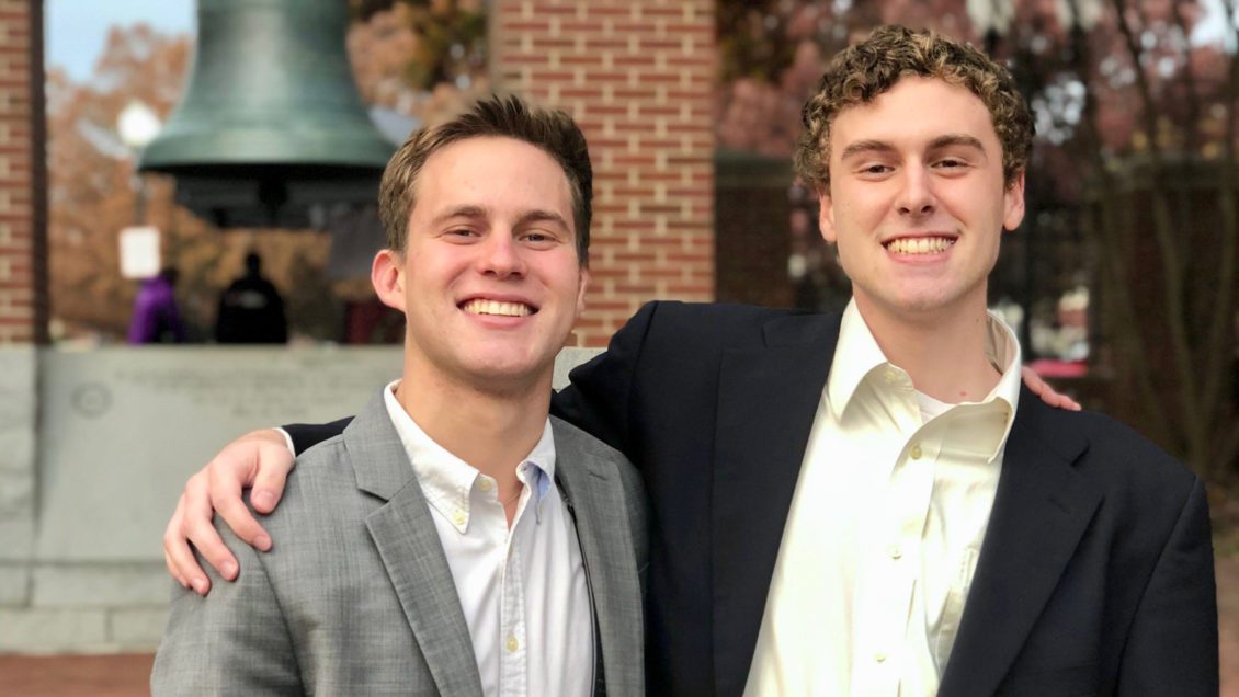
Sawyer McCarley, a senior sociology major, is working this summer with the National Science Foundation (NSF) and a program called YouthMappers, as a YouthMappers Research Fellow. Though he was supposed to be in Jamaica for six weeks for this internship, due to the COVID-19 Pandemic, he’s now working remotely. But that hasn’t stopped him from making the most of his time with NSF. This internship has helped him gain a better understanding of the power of open sourced data and has helped him envision his career after graduation. We caught up with him to learn more about his internship and how it’s helping him map out his future.
Q: What are your internship duties?
In my internship I help integrate better Virtual Geographics Information Systems (VGIS) and tailoring a program called Open Street Maps (OSM) in official data to better understand the barriers and conditions specific to a country. I also had hopes to connect with other university YouthMappers, including supporting collaborations, exchanging skills and best practices, or even creating new YouthMappers chapters where none may yet exist. However, with COVID-19, it has been hard to get in touch with them. I hoped to help create and implement potential applied projects that could integrate VGIS and/or OSM in official data by brokering direct connections between government mapping organizations and local university YouthMappers chapters.

Q: What are you learning through your internship?
Considering that COVID has been a factor on top of talking to different agencies internationally, I think my internship is an example of how many jobs will look in the near future. Over half of my internship is planning and organizing, as well as working on my final deliverable.
While different students are working with different countries, I have been collaborating with the National Emergency Response Geographic Information Systems Team (NERGIST) in Jamaica. NERGIST is a governmental organization that collects and trains volunteers in Environmental Systems, Research Institute (ESRI) products and disaster response protocols to be deployed in Jamaica and other island nations after a disaster. Through this, I have learned how open sourced and Volunteered Geographic Information (VGI) data is used for disaster planning and management.
Because I have a stronger background in sociology and writing instead of the physical application of this software, I’ve been interviewing people within the NERGIST team on the tools they use, what it looks like within the program during a disaster to gain a deeper understanding of their program. My deliverable will be to take this information and write an academic article so they can get a third-party perspective to learn and grow from.
However, I’m also seeing how other countries use it for city planning in the wake of COVID-19. For example, one of my colleagues is working in Belize to help restructure the garbage truck route because people are spending more time at home instead of work. This is allowing the city to lower the carbon footprint by sending the trucks to where they are needed now vs. four months ago.
[vid origin=”youtube” vid_id=”dUxIxjBoesE” size=”medium” align=”right”]
Q: Why did you /what inspired you to apply to your internship?
Last summer I started to gain a better understanding of the world of “big data” by some friends who had already graduated, and I quickly started seeing the possibilities on how data could play a role in research, planning, and socioeconomic issues. I looked into the Clemson Center for Geospatial Technologies and started staying late in the evenings on Mondays to take a certification workshop they offer in the library. One of my friends randomly sent me a link to the application and I applied on a whim. A few months later I got asked for an interview and here we are! The certification class has opened up a whole new world of opportunities and would recommend it to anyone who’s interested.
Q: How will this internship benefit you for your collegiate plans /future career?
I think the world of big data is only getting started. I sincerely believe that that every profession will need a branch of this kind in the near future because it makes the world much more visual, efficient, and if used properly, sustainable. My career goal is to become an urban designer in areas affected by natural disasters and data really helps give a visual aid to what damage has been done, where people migrate to, and what’s the most effective way to get people back in their community. It has helped me focus towards a more data-based career than I first imagined. If I do go to grad school, I’ve started looking for more design and data-based programs at Arizona State, Harvard University, or University of Texas Austin, because their urban designing programs are centered around resilience and data. People are really starting to catch onto the possibilities that can be offered through this software, and I’m excited to see how it will take off!
Get in touch and we will connect you with the author or another expert.
Or email us at news@clemson.edu

